Can you see Mont Blanc from Geneva?
Short answer
Yes. On a clear day Mont Blanc (4,807 m / 15,773 ft) shows from the Geneva lakefront, about 69 km to the southeast, as a white dome just above the nearer foothills. Geneva Tourism points to the Perle du Lac park on the right bank. The mountain right behind the city is the Salève, 13 km south. The long ridge to the west is the Jura.
 Standing in front of one now? Mountain Identifier: Peaks labels the peaks in your camera view →
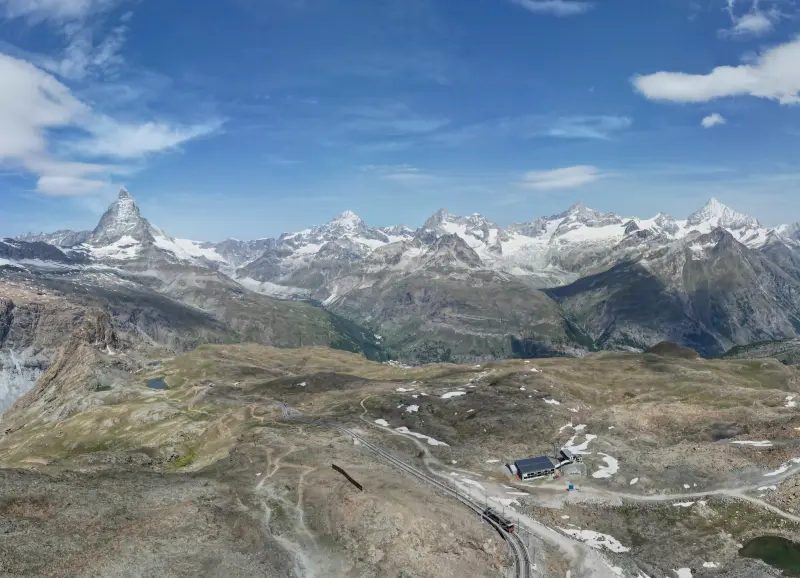
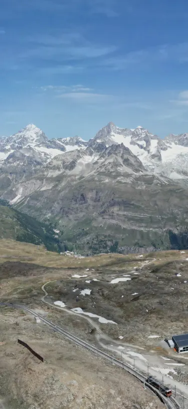 Dent Blanche4,358 m · 14.5 kmOber Gabelhorn4,073 m · 10.9 km9:41Dent Blanche4,358 m · 14.5 km away

Yes, on a clear day, low on the southeast horizon
Mont Blanc's summit is about 69 km (43 mi) from the Pont du Mont-Blanc, on a bearing of about 127°. From the lakefront it rises only about 3.4° above the horizontal, a white dome sitting just over the dark foothills of Haute-Savoie. It's easy to miss and easy to mistake for cloud.
Geneva Tourism's list of the best views in the city sends you to the Perle du Lac park on the right bank: "When the weather is clear, Mont Blanc is unveiled."
Not every spot works. The Local says that from the Pont du Mont-Blanc, the bridge named after it, "you can't actually see Mont Blanc itself". Our terrain check says the bare hills don't block it from there, so buildings and trees on the left bank are the likely culprits. Geneva Tourism's pick, the Perle du Lac, is farther north along the same shore, past the Bains des Pâquis.
Mont Blanc is 4,807.47 m (15,773 ft) as of the September 2026 survey. Our guide to how tall Mont Blanc is explains why the number changes from survey to survey.
The mountains around Geneva, by direction
Measured from the Pont du Mont-Blanc, with the angle each summit rises above the horizontal from the lakeshore once curvature and refraction are taken off:
| Peak | Direction | Distance | Elevation | Seen from the lakefront? |
|---|---|---|---|---|
| Salève (Grand Piton) | South (183°) | 13 km / 8 mi | 1,379 m / 4,524 ft | Yes, 4.5° up |
| Le Môle | Southeast (115°) | 26 km / 16 mi | 1,863 m / 6,112 ft | Yes, 3.2° up |
| Mont Blanc | Southeast (127°) | 69 km / 43 mi | 4,807 m / 15,773 ft | Yes, 3.4° up |
| Aiguille Verte | Southeast (115°) | 70 km / 44 mi | 4,122 m / 13,524 ft | Not from the bridge (behind Le Môle) |
| Voirons (Signal) | East (83°) | 16 km / 10 mi | 1,480 m / 4,856 ft | Yes, 3.8° up |
| Dents du Midi (Haute Cime) | East (95°) | 60 km / 37 mi | 3,258 m / 10,689 ft | No, behind the Voirons |
| Crêt de la Neige (Jura) | West-northwest (294°) | 18 km / 11 mi | 1,720 m / 5,643 ft | Yes, 4.3° up |
| Le Reculet (Jura) | West-northwest (288°) | 18 km / 11 mi | 1,717 m / 5,633 ft | Yes, 4.3° up |
| La Dôle (Jura) | North (351°) | 24 km / 15 mi | 1,677 m / 5,502 ft | Yes, 3.0° up |
We computed bearings and distances from each summit's coordinates on Wikipedia, and checked line of sight against the Copernicus EU-DEM 25 m terrain model (bare ground, no buildings or trees), with the same refraction value surveyors use. Elevations are from the Wikipedia articles for the Salève, Le Môle, Aiguille Verte, Dents du Midi, Crêt de la Neige, Le Reculet and La Dôle. The Voirons figure is the one local trail guides give.
The Salève: the mountain right behind the city
The long ridge filling the southern sky is the Salève, just over the border in France. Its top, the Grand Piton, is 1,379 m, and Wikipedia notes its nickname, the "balcony of Geneva". It's the nearest mountain to the city center, and it's the one people mean when they ask about "the mountain behind Geneva".
From the top, the view runs the other way. Switzerland Tourism describes "a 360-degree view of Lake Geneva, Mont Blanc and the Jura Mountains". By our arithmetic, the Dents du Midi and the Grand Combin also clear the ridges in between from the summit, though the Grand Combin only just. The cable car from Étrembières climbs to 1,100 m. Its site says it's closed for annual maintenance from November 2 to 26, 2026, reopening on November 27.
The Jura to the west
The long ridge across the western and northern skyline is the Jura. Its two highest summits stand side by side about 18 km away: Crêt de la Neige at 1,720 m and Le Reculet at 1,717 m. A 2024 survey settled which is higher, putting Crêt de la Neige's true top at 1,720.83 m and Le Reculet's at 1,717.14 m, according to Wikipedia.
From the lake they're about 6° apart, with Le Reculet on the left. Farther north, La Dôle (1,677 m) carries an aviation radar dome on its summit, per its Wikipedia article.
Le Môle and the ridges to the southeast
Look left of Mont Blanc and you'll see a nearer summit standing well in front of it. That's Le Môle, 1,863 m, about 26 km out. Mary Shelley used it in Frankenstein, where Victor sees it from Geneva, as Wikipedia's article on the peak notes.
From the Pont du Mont-Blanc, the Aiguille Verte, a 4,122 m needle in the Mont Blanc massif, lines up almost exactly behind Le Môle and stays hidden. The Voirons, the long ridge to the east, hide the Dents du Midi the same way. Move along the shore and the line-ups shift: The Local's photo from Genthod, north along the lake, shows the Mont Blanc massif across the water.
The Matterhorn and the Grand Combin are too far, and hidden
Two famous Valais peaks lie roughly in the direction of the Dents du Midi, and neither shows from the lakefront by our arithmetic:
- The Grand Combin (4,309 m / 14,137 ft), about 94 km away. It would sit 2.0° above the horizontal, and a ridge about 57 km out in the Chablais reaches a hair higher.
- The Matterhorn (4,478 m / 14,692 ft), about 119 km away. At 1.5° up, it's well below the Voirons and the Chablais summits in front of it. We found no reliable report of it being seen from Geneva.
Even when nothing blocks the line, distance is against you. Mont Blanc clears the foothills by under a degree, so a little haze low on the horizon is enough to hide it. Our guide on why you can't see the mountains today covers haze and low cloud, and how far away you can see a mountain covers curvature.
Naming the skyline with Mountain Identifier: Peaks
Mountain Identifier: Peaks labels the summits in your camera view with name, elevation and distance. It checks the terrain in between, so a peak behind a nearer ridge doesn't get a label. The live view is part of the Pro subscription, and it searches peaks within 80 km of where you stand:
- Inside the range: the Salève, the Jura summits, the Voirons, Le Môle and Mont Blanc (69 km), whenever they're in view.
- Outside it: the Grand Combin (about 94 km) and the Matterhorn (about 119 km). From the Salève the Grand Combin is about 91 km away, so even where you can see it, the app won't label it.
If the labels sit beside the real summits, the compass is usually off; drag one finger sideways to line them up. For working out the rest of a skyline anywhere, see what mountains you can see from here.
Frequently asked questions
What is the mountain behind Geneva?
The Salève, a ridge in France about 13 km south of the Pont du Mont-Blanc. Its top, the Grand Piton, is 1,379 m (4,524 ft). People call it the balcony of Geneva, and a cable car from Étrembières, just over the border, climbs to 1,100 m in about five minutes.
Where is the best view of Mont Blanc from Geneva?
In town, Geneva Tourism names the Perle du Lac park on the right bank, where Mont Blanc 'emerges' in clear weather. For a wider view, the top of the Salève looks straight across to the massif, and by our arithmetic Mont Blanc stands well clear of the ridges in between from there.
Can you see the Matterhorn from Geneva?
No. The Matterhorn is about 119 km east-southeast of the city. From the lakefront it would sit about 1.5° above the horizontal, and our terrain check puts the Voirons and the Chablais mountains higher than that along the line. We found no reliable report of anyone seeing it from Geneva.
Why can't I see Mont Blanc from Geneva today?
Usually haze or cloud. At 69 km, Mont Blanc only clears the nearer foothills by under a degree, by our terrain check, so even a thin layer of haze or a cloud bank over the Haute-Savoie foothills hides it. Geneva Tourism's own wording is that it shows when the weather is clear.
How far is Mont Blanc from Geneva?
About 69 km (43 mi) in a straight line from the Pont du Mont-Blanc to the summit, on a bearing of about 127°, which is southeast. By road to Chamonix it's farther, since the road follows the Arve valley.
Next time, point your phone at it.
Name, elevation and distance for the peaks in your camera view. Free to download; identification is part of Pro.
 Dent Blanche4,358 m · 14.5 kmOber Gabelhorn4,073 m · 10.9 km9:41
Last reviewed Nov 20, 2026. Peak data © OpenStreetMap contributors (ODbL).