How tall is Mont Blanc?
Short answer
Mont Blanc is 4,807.47 m (15,773 ft) tall, according to the Haute-Savoie surveyors who measured it on September 17, 2026. That's 1.88 m higher than their 2023 figure of 4,805.59 m. The number moves because the summit is a cap of snow and ice that wind and weather reshape. The rock underneath is lower, around 4,790 m.
 Standing in front of one now? Mountain Identifier: Peaks labels the peaks in your camera view →
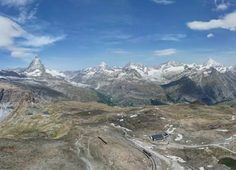
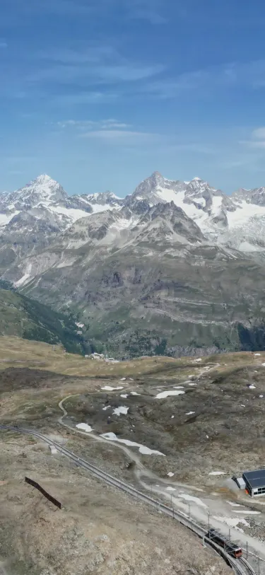 Dent Blanche4,358 m · 14.5 kmOber Gabelhorn4,073 m · 10.9 km9:41Dent Blanche4,358 m · 14.5 km away

4,807.47 m, as of the September 2026 survey
Mont Blanc's summit stood at 4,807.47 m (15,773 ft) above sea level on September 17, 2026. A team of surveyors, guides and scientists climbed at daybreak, spent more than two hours on top, and the Haute-Savoie chamber of surveyors announced the result in Saint-Gervais on October 14, Phys.org reported. That's 1.88 m above their last published figure, 4,805.59 m in 2023, and about 27 cm above the Vallot cousins' survey of the 1890s, according to Euronews.
The rock didn't rise. The highest point of Mont Blanc is a dome of snow and ice, and the surveyors measure the top of that dome. Wind, snowfall and temperature reshape it from year to year, so every survey gives a different number. "The summit is in constant motion," said Jean des Garets, president of the surveyors' chamber.
Why the height changes
Underneath the cap is a lower rock summit. Scientists put it at 4,792 m (15,722 ft) in 2004. This year the team carried ground-penetrating radar as well as satellite receivers and a drone, and got 4,789.40 m for the rock, AFP reported. Des Garets said they hadn't yet worked out why the two rock figures differ by about 2.6 m.
So the snow summit sits roughly 15 to 18 m above the highest rock, and the snow is the part that moves. It isn't simply melting away. A glaciologist at the announcement, Luc Moreau, said the summit had not been significantly altered by climate change, and Grenoble researchers have found the summit ice rarely melts at all. The surveyors called 2026 a particularly dry year, and the cap still came back up.
Everest and Denali have the same problem, and their official heights are also the top of the snow. Our guide to how mountain elevation is measured explains how a satellite height becomes "above sea level".
Every published survey since 2001
The Haute-Savoie surveyors have measured the summit since 2001. They now measure every year but publish every three years or so. These are the published figures we could trace to a report:
| Year | Height | Source |
|---|---|---|
| 2001 | 4,810.40 m (15,782 ft) | AFP |
| 2007 | 4,810.90 m (15,784 ft), the highest | Cross Country |
| 2009 | 4,810.45 m (15,782 ft) | Cross Country |
| 2011 | 4,810.44 m (15,782 ft) | Cross Country |
| 2021 | 4,807.81 m (15,774 ft) | ANSA |
| 2023 | 4,805.59 m (15,766 ft), the lowest | ANSA |
| 2026 | 4,807.47 m (15,773 ft) | Phys.org |
The 2025 measurement wasn't released to the public. Reports of the 2026 announcement say the summit was about 1.3 m higher in 2025 than it is now, which would put it near 4,808.8 m, but no published 2025 figure exists to cite. The next public result is due in 2029, Presse-citron reports.
Why you still see 4,810 m
Surveys in 2001, 2007, 2009 and 2011 all landed within half a meter of 4,810 m, so that's the number that went onto signs, maps and souvenirs. It's out of date: the three figures published since 2021 are all 2 to 5 m lower. Before the GPS surveys, 4,807 m was the generally accepted height, which happens to be close to today's.
Reference sites don't always agree either. In November 2026, Wikipedia's English article gave 4,805.59 m in its infobox and a different figure in its first line. If you need one number, use the latest survey and say which year it's from. A list ranked by prominence will give Mont Blanc yet another number, since that measures how far it rises above the col linking it to higher ground, not its height above sea level.
Which country the summit is in
France and Italy share the Mont Blanc massif but have never agreed where the border runs at the top. Italy's maps follow the watershed, which crosses the summit. French maps put the summit wholly in France, a line Italy says takes 82 hectares of its territory. The disagreement goes back to the 1860s and flared again in 2020, and in practice rescue services from both countries respond on the mountain, as The Connexion explains.
Spotting Mont Blanc with Mountain Identifier: Peaks
From Chamonix the summit is about 10 km away, and from Courmayeur about 9 km. Geneva is about 69 km away. All three are inside the 80 km radius that Mountain Identifier: Peaks searches. In the live view, which is part of Pro, the app can put a flag on Mont Blanc with its name, elevation and distance.
It checks line of sight against terrain first, so from a street where a foothill hides the summit, it won't label it. Our guide to how far away you can see a mountain covers the curvature side of that, and what mountains you can see from here covers working out the rest of a skyline.
The elevation on the flag comes from OpenStreetMap, not from the surveyors, so it may not match 4,807.47 m. The name can catch you out, too: the app's database has 12 summits called Mont Blanc, so check the distance before you trust the label.
Frequently asked questions
Is Mont Blanc getting shorter?
Not steadily. Surveys since 2001 have ranged from about 4,811 m in 2007 to 4,805.59 m in 2023, and the 2026 figure went back up to 4,807.47 m. The changes come from the summit's snow and ice cap, and a glaciologist at the 2026 announcement said climate change hasn't significantly altered the summit so far.
How high is the rock summit of Mont Blanc?
Scientists measured the rock under the ice at 4,792 m in 2004. The 2026 survey used ground-penetrating radar and got 4,789.40 m. The surveyors said they hadn't yet worked out why the two figures differ.
Why do signs say Mont Blanc is 4,810 m?
Surveys from 2001 to 2011 kept landing near 4,810 m (4,810.90 m in 2007, 4,810.44 m in 2011), so the round figure stuck on signs, maps and souvenirs. All three figures published since 2021 are lower.
Is Mont Blanc in France or Italy?
Both countries share the massif, but they disagree about the summit. Italy runs the border along the watershed, across the top. French maps put the summit entirely in France. The two governments have never settled it, and rescue teams from both sides work the mountain.
How tall is Mont Blanc in feet?
The 2026 survey's 4,807.47 m is 15,773 ft. The 2023 figure, 4,805.59 m, is 15,766 ft, and the older rounded 4,810 m is 15,781 ft.
Next time, point your phone at it.
Name, elevation and distance for the peaks in your camera view. Free to download; identification is part of Pro.
 Dent Blanche4,358 m · 14.5 kmOber Gabelhorn4,073 m · 10.9 km9:41
Last reviewed Nov 2, 2026. Peak data © OpenStreetMap contributors (ODbL).