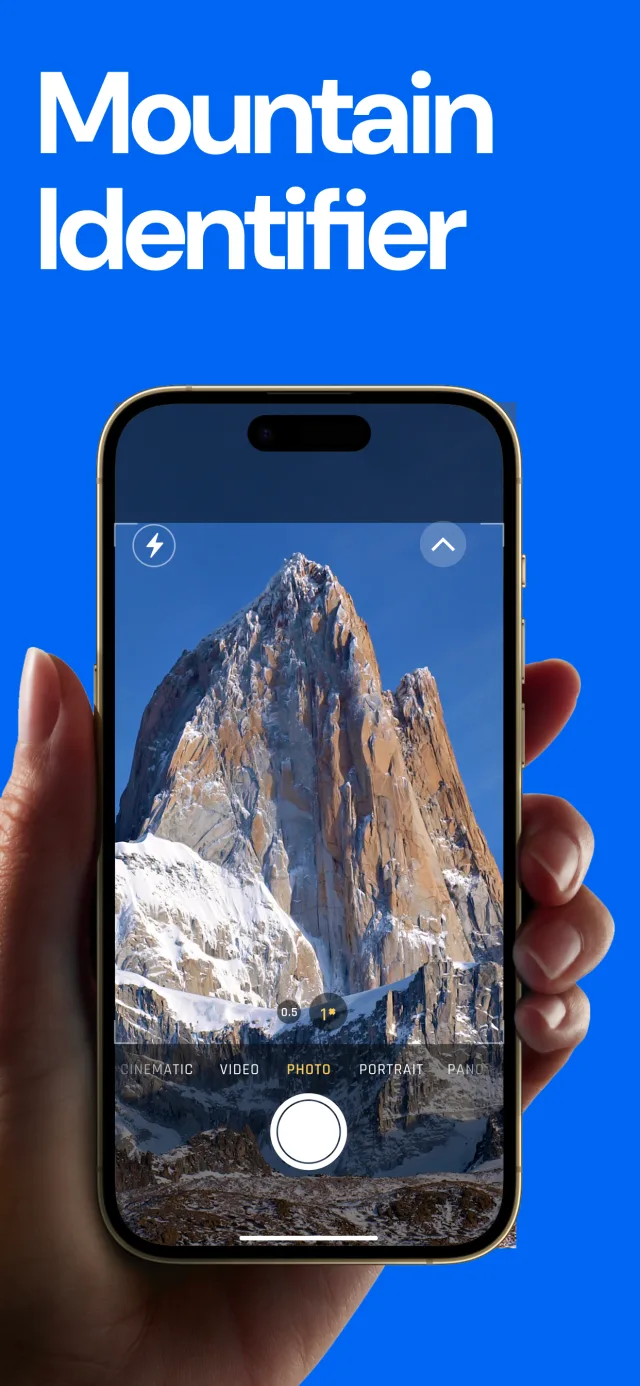
Point your phone at any mountain and know its name
Live labels over the real skyline, with the elevation and distance of every peak in view. Peaks hidden behind a nearer ridge stay hidden.
Why it works
Only what you can see
The app traces the terrain between you and every summit, corrected for the Earth's curvature and atmospheric refraction. A peak behind a nearer ridge doesn't get a label it hasn't earned.
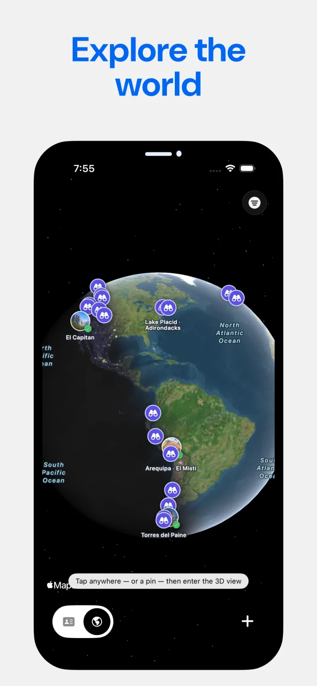
The whole world, on your phone
687,599 summits ship inside the app, so names and heights never wait on a signal. Live labels also work offline anywhere you've opened the app before.
A passport for every peak
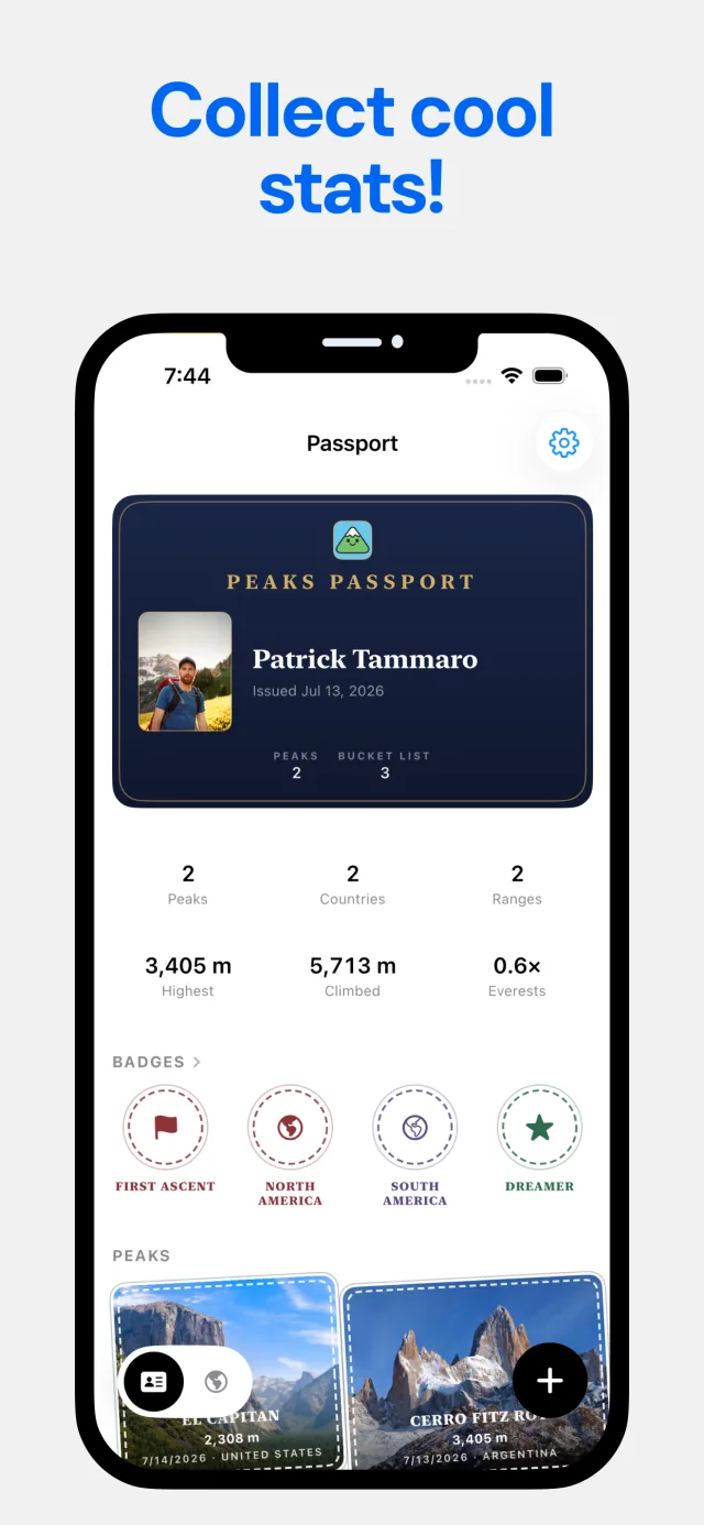
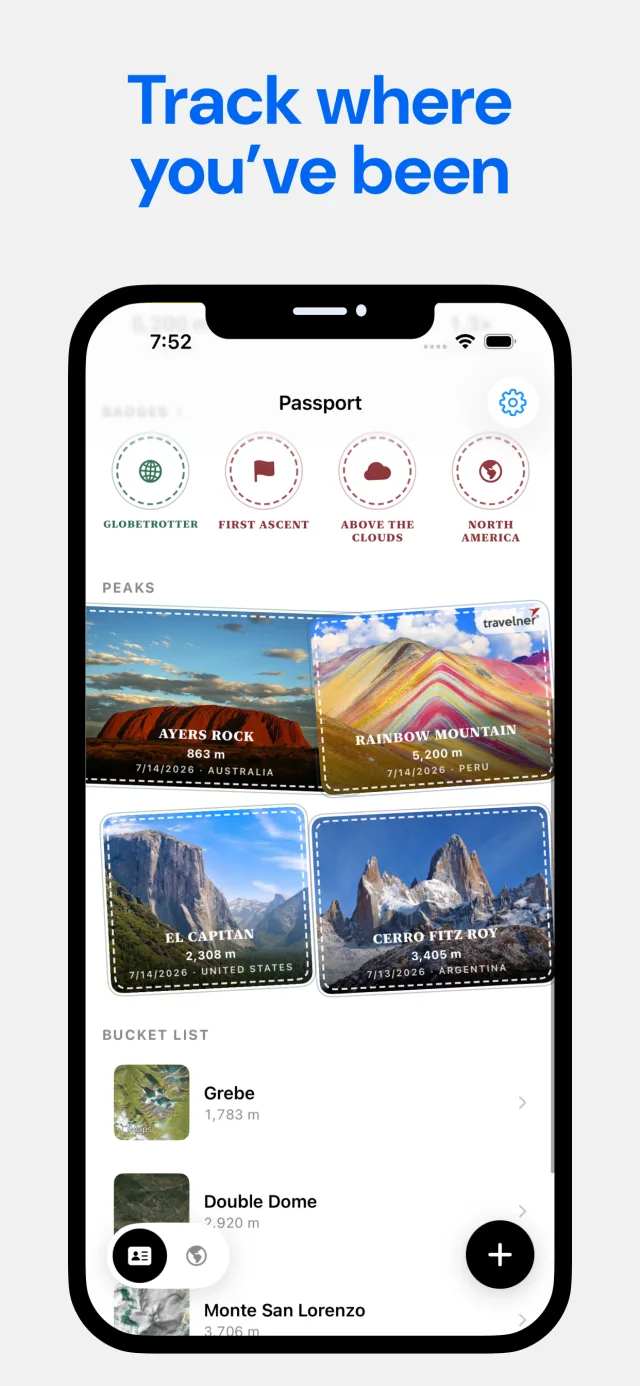
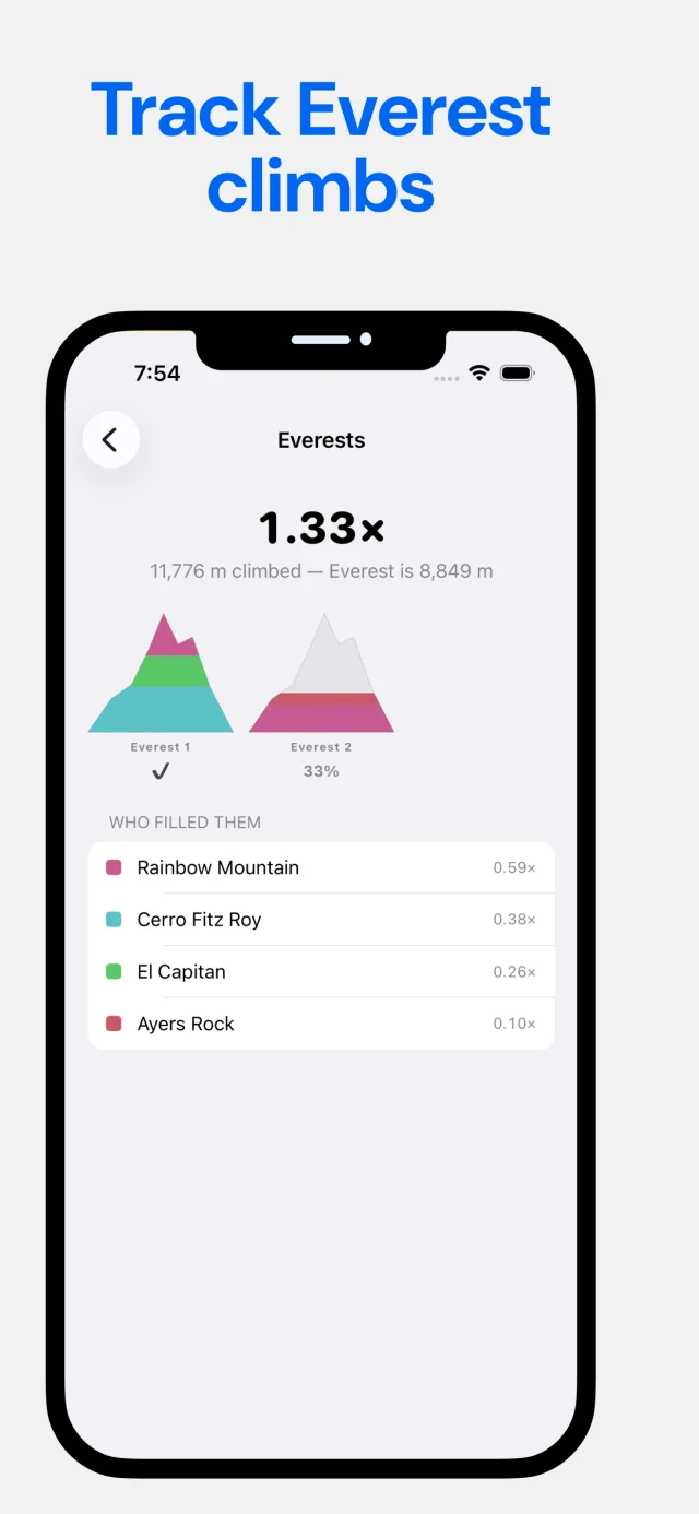
Log a summit and it joins your passport, with its photo and date. Count countries, ranges, your highest peak, and the meters you've logged measured in Everests.
Name it, learn it, keep it
From the first label to a passport full of stamps.
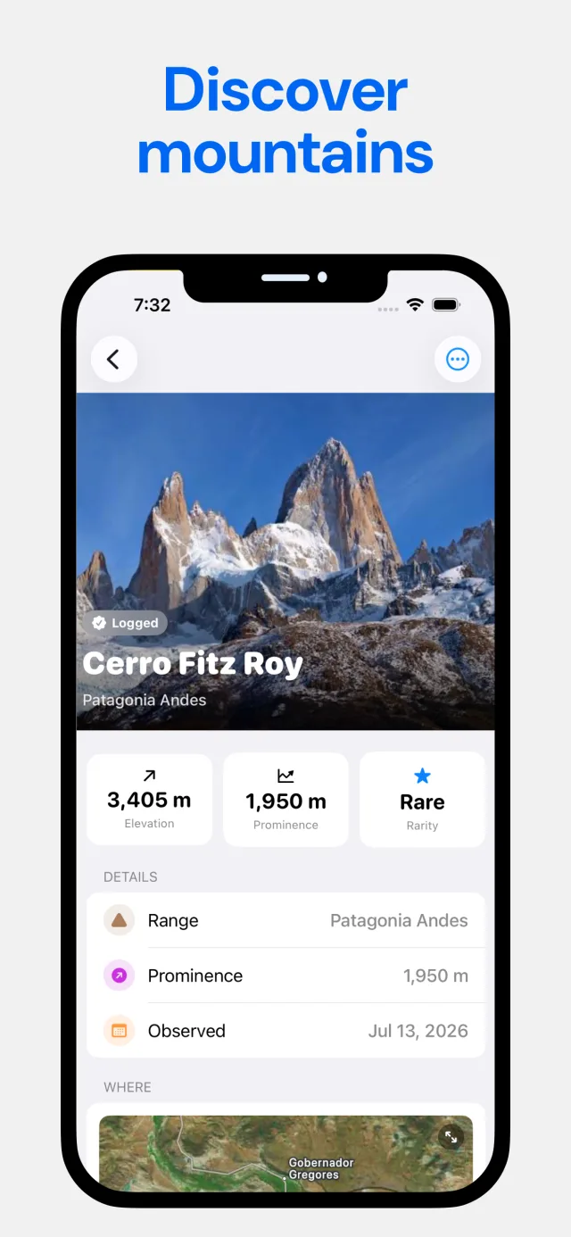
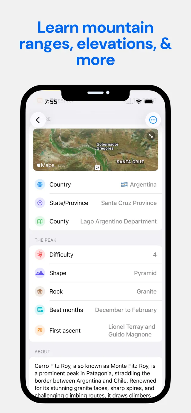

Geometry first, then the label
Point your phone at the skyline
The app takes a GPS fix and a compass heading, works out the ground height where you stand, and looks up every summit within 80 km.
It checks what you can actually see
For each peak it traces the terrain in between, correcting for the curve of the Earth and the bending of light in the atmosphere. Peaks hidden behind a nearer ridge stay unlabeled.
Log it to your passport
Tap a label to log the peak. Your passport keeps every summit with its photo and date, and adds up countries, ranges and Everests climbed.
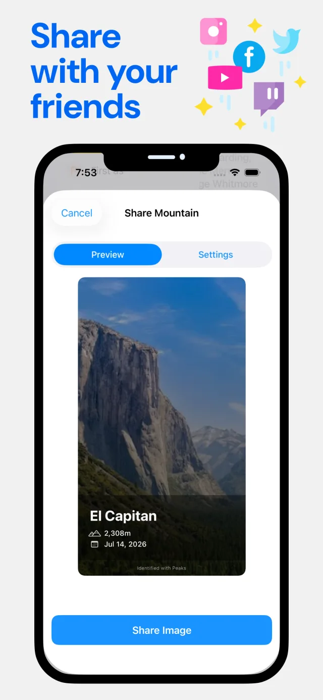
Identifying peaks with the live view, a photo or a description is part of the Pro subscription. The passport, badges, sharing and 3D views at curated viewpoints are free.
The questions people ask about mountains
How to name a peak, how far you can see, and what makes a mountain a mountain.
What mountain is this?
Four reliable ways to name the mountain in front of you or in a photo: an AR app, a compass and map, the photo's location data, or a local forum.
Read the guide →How does a mountain identifier app work?
Mountain identifier apps work in one of two ways: AR labels from GPS and terrain, or AI guesses from a photo. Here's how each works and where each fails.
Read the guide →How do I identify a mountain from a photo?
Start with the photo's location tag, work out which way the camera faced, then match the skyline on a 3D map. Plus when AI photo tools help and when they guess.
Read the guide →What mountains can I see from here?
A map shows every mountain nearby, not the ones you can see. Here's how line of sight works, why near ridges hide far peaks, and the tools that compute it.
Read the guide →What's the best app to identify mountains?
PeakFinder, PeakVisor, Peaks USA, AI photo apps and ours, compared on how they identify peaks, what works without signal, range and price.
Read the guide →How far away can you see a mountain?
Curvature, refraction and haze, worked through with real numbers: how much of a mountain hides below the horizon at 50, 100 and 200 km, and the record sightlines.
Read the guide →What is mountain prominence?
Prominence measures how much a summit stands on its own: the drop to the saddle linking it to higher ground. Examples, how lists use it, and why data is thin.
Read the guide →What's the difference between a mountain, a hill and a peak?
There's no official height that makes a hill a mountain. What the USGS says, the old 1,000 ft rule, the UN's working definition, and where peak and summit fit in.
Read the guide →Frequently asked questions
How do I find out what mountain I'm looking at?
Point an app that knows your position and direction at it. Mountain Identifier: Peaks uses GPS and the compass to label each summit in the camera view with its name, elevation and distance. Without an app, take a compass bearing and follow it across a topographic map. Learn more →
Does it work without cell service?
Partly. All 687,599 peaks are stored on your phone, so names and heights never need a signal. The live labels also need terrain data, which the app downloads the first time you use it somewhere and keeps. Open it at your destination before you lose coverage. Photo identification needs a connection. Learn more →
How many mountains does it know?
687,599 summits on every continent, from OpenStreetMap: 682,641 peaks and 4,958 volcanoes. The whole database ships inside the app, so there's nothing to download region by region. Learn more →
Can it identify a mountain from a photo?
Yes. Import a photo or take one, and an AI model suggests the peak, using the photo's location tag as a hint when it has one. It's a well-informed guess with a confidence score, so check unusual results against a map. Learn more →
How accurate is it?
The live view computes where each summit should appear from your GPS position, the terrain, and corrections for the Earth's curvature and atmospheric refraction, then hides peaks behind nearer ridges. Accuracy mostly depends on your compass. If labels sit off to one side, drag them into line. Learn more →
What is prominence?
Prominence is how far a summit rises above the lowest point connecting it to any higher summit. It measures how much a peak stands on its own, which is why a modest-looking mountain can outrank a taller bump on a ridge. Learn more →
What's the difference between a mountain and a hill?
There is no official line. Old British and US survey rules used 1,000 feet of height, and both were dropped. In practice it comes down to local usage, steepness, and how much the summit stands out from its surroundings. Learn more →
Which peaks can I see from my house?
Only the ones with a clear line of sight, which a map won't tell you. The app traces the terrain between you and each summit within 80 km and labels just the peaks that aren't hidden behind a nearer ridge. Learn more →
Where does the mountain data come from?
Peak names, positions and heights come from OpenStreetMap, built by volunteers and licensed under the ODbL. Terrain for line-of-sight checks comes from the AWS Terrain Tiles open dataset. If a peak is missing, add it on OpenStreetMap.
Is it free?
It's free to download, and the passport, badges, sharing and 3D views at curated viewpoints cost nothing. Identifying peaks with the live camera view, a photo or a description is part of the Pro subscription.

Next time, you'll know which one that is
Mountain Identifier: Peaks for iPhone. Free to download; peak identification is part of Pro.