What is a false summit?
Short answer
A false summit, or false peak, is a shoulder, bump or brow on a mountain that looks like the top when you're climbing toward it from below. The real summit is still there, higher and farther back, but the nearer slope blocks your line of sight to it. You only see it once you reach the brow. On a map, a false summit shows up as contours that spread out and then tighten again.
 Standing in front of one now? Mountain Identifier: Peaks labels the peaks in your camera view →
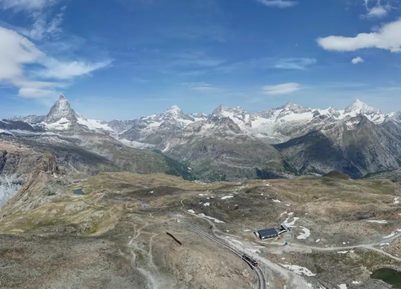
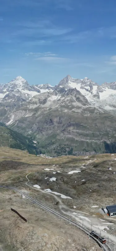 Dent Blanche4,358 m · 14.5 kmOber Gabelhorn4,073 m · 10.9 km9:41Dent Blanche4,358 m · 14.5 km away

Why the real top hides
From below, you see the highest thing in your line of sight, not the highest point on the mountain. Those are different whenever the slope ahead of you is convex: steep near you and easing off higher up. The upper edge of that steep section, the brow, sits high in your field of view. Everything behind it, including the summit, is hidden.
It's an angle problem, and a few numbers make it clear. Say the brow is 200 m ahead of you and 60 m above you. The true summit is 1,000 m ahead and 150 m above. The brow sits about 17° above level in your view. The summit, though higher and farther, sits at about 8.5°. It's below the brow's edge, so you can't see it.
| Point | Distance ahead | Height above you | Angle above level | What you see |
|---|---|---|---|---|
| The brow | 200 m | 60 m | about 17° | Looks like the top |
| The true summit | 1,000 m | 150 m | about 8.5° | Hidden behind the brow |
Walk up to the brow and the numbers change. Now the summit is 800 m ahead and 90 m above, about 6.4°, and nothing nearer is in the way, so it appears. That's the moment everyone knows: you reach what you thought was the top and the mountain keeps going.
Navigation instructors describe the same shape from the other side. At The Edge Mountaineering's contour guide notes that from the top of a convex slope you can't see down to the base. Sightlines work both ways, so from the base you can't see the top either.
False summit or subsidiary peak?
People use "false summit" for two slightly different things. One is a brow or shoulder: a place where the slope eases off, with no drop behind it. You walk over it and keep climbing. The other is a real minor top along a ridge, with a small dip before the main summit. That second kind has a little prominence of its own, and some have names, like Everest's South Summit.
Either one can fool you from below. The difference matters on the way down and on the map: a minor top often has its own spot height or ring of contours, while a brow usually has neither.
How to spot one on a map
Contour spacing gives it away. Close contours mean steep ground and widely spaced contours mean gentle ground, as Ordnance Survey's guide to contours puts it. A convex slope has its contours bunched at the bottom and spreading out toward the top.
- Follow your route uphill and look for a band of close contours followed by a wider gap. The top of that band is where your skyline will be.
- If the contours tighten again after the wide gap, there's more climbing above. The first skyline is a false summit.
- Find the summit itself: the innermost contour ring, usually marked with a spot height. Compare its height with the height at the first brow to see how much is left.
- Measure the horizontal distance between the two. On the ground, that's the stretch you can't see until you reach the brow.
Our guide to reading a map and compass in the hills covers contours and bearings in more detail.
Famous false summits
Mount Elbert, Colorado (14,438 ft / 4,401 m, as 14ers.com lists it). The highest peak in Colorado has a well-known false summit on its Northeast Ridge route. The 14ers.com route description has a photo at a flat spot at 13,900 ft captioned "A false summit is ahead but the true summit is not far off." Advnture counts two false summits on the way up.
Manaslu, Nepal. The world's eighth-highest mountain fooled expeditions for decades. Its true summit sits at the end of a short, corniced ridge beyond a set of fore-summits. ExplorersWeb reported in 2019 that the Himalayan Database's researcher Tobias Pantel had found no one reached the true summit that autumn, and that teams usually stopped at a fore-summit at least 30 m short of it.
In September 2021 Mingma G's team reached the true summit, and the Himalayan Database's Billi Bierling said earlier fore-summit ascents would get a note: "We can't change history."
Mera Peak, Nepal. A different trap: two tops close together. Mountaineering writer Mark Horrell wrote in 2010 that most operators take clients to Mera Central, while Mera North, a short distance away, is about 15 m higher.
For any route, the guidebook, the land manager's page or a peak list maintainer is where to find out what's ahead. Trip reports on sites like 14ers.com often show the false summit in photos, which tells you what it looks like before you're standing under it.
The same geometry in Mountain Identifier: Peaks
The false-summit effect is a line-of-sight calculation, and it's the one the app's live view runs for each peak within 80 km. It steps along the terrain between you and each peak, corrected for the Earth's curvature and refraction, and hides any peak that a nearer ridge blocks. Labels show the name, elevation and distance of the peaks left in view. The live view is part of Pro; free features include the map, a passport of up to 5 peaks logged by hand and 3D panoramas at 37 curated viewpoints.
One limit worth knowing: OpenStreetMap, the source of the app's 687,599 summits, has no agreed tag for a false peak, so unless a mapper has tagged a brow as a peak, it isn't one of the summits the app labels. For which far-off summits are in view from where you stand, see what mountains can I see from here.
Frequently asked questions
Why do false summits happen?
Because a slope that rounds over, steep below and gentler above, hides everything behind its brow. From below, the brow sits higher in your view than the true summit does, so it fills the skyline. Rocky shoulders and minor tops along a ridge do the same thing.
How do you know you've reached the real summit?
When the ground drops away on every side and nothing nearby is higher. Check the map: the summit sits inside the innermost contour ring, usually with a spot height or trig point. A GPS position or altimeter reading compared with the map's summit height is a useful second check.
Do false summits count for peak bagging?
No. Lists credit the true summit. On Manaslu, where teams for years stopped at a lower fore-summit, the Himalayan Database said in 2021 that earlier ascents would carry a note rather than count as true-summit climbs.
Is a false summit the same as a subsidiary peak?
Not always. A subsidiary peak is a real top with its own small drop on every side, like Everest's South Summit. A false summit can be just a brow on a slope with no drop at all behind it. Both can fool you from below.
What is a false summit in cycling?
Cyclists use the phrase for the point where a climb seems to end but carries on around a bend or over a rise. It's the same effect as on a mountain: the road ahead hides what comes after it.
Next time, point your phone at it.
Name, elevation and distance for the peaks in your camera view. Free to download; identification is part of Pro.
 Dent Blanche4,358 m · 14.5 kmOber Gabelhorn4,073 m · 10.9 km9:41
Last reviewed Oct 26, 2026. Peak data © OpenStreetMap contributors (ODbL).