How do you show mountain names on Google Maps?
Short answer
Open the Layers menu and turn on Terrain, then zoom in. Google Maps adds peak names as you get closer, along with contour lines and gray elevation numbers. Many smaller summits never get a label, so search the peak's name if you know it. For more names, use Google Earth with a labelled map style, or a topographic map built from OpenStreetMap.
 Standing in front of one now? Mountain Identifier: Peaks labels the peaks in your camera view →
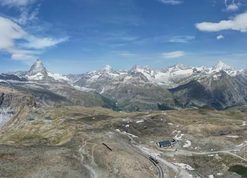
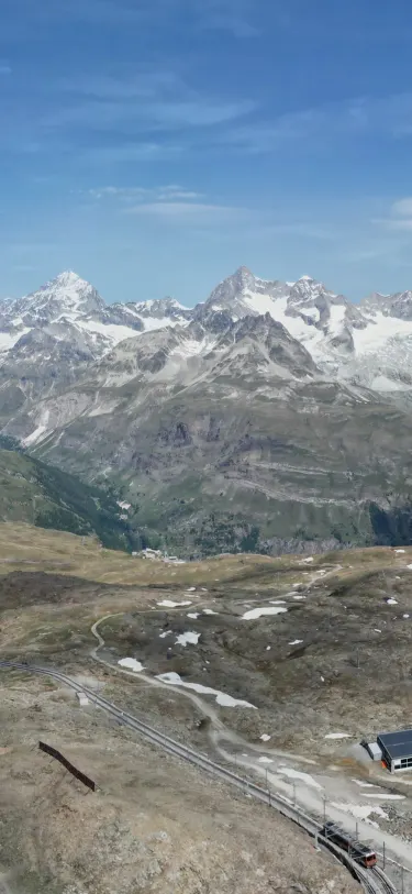 Dent Blanche4,358 m · 14.5 kmOber Gabelhorn4,073 m · 10.9 km9:41Dent Blanche4,358 m · 14.5 km away

Google Maps: Terrain, then zoom
The default Google Maps view is built for driving. It shows roads, places and businesses, and it flattens the land. Mountain names mostly appear once you switch to the Terrain layer, which Google describes as showing "the elevation of the landscape, like mountains and canyons," with contour lines and gray altitude numbers (Google Maps Help).
- On a computer: point to Layers at the bottom left, click More, and choose Terrain.
- On an iPhone or iPad: tap the Layers button at the top right of the Google Maps app and tap Terrain. Tap it again to turn it off.
- Zoom in. Only the biggest peaks are named at range scale. Names for smaller summits fill in as you get closer, and some only show at the last few zoom levels.
- Search by name. If you already know what the peak is called, typing it into the search box drops a pin on the summit, labelled or not.
Why most peaks still have no name
A map can only print so many words. Google's default map is built around roads, towns and businesses, so at most zoom levels a summit has to be famous to earn a label. Plenty of named peaks only appear when you're zoomed far into one valley, and minor tops often never appear at all.
The names Google does show come from official sources where they exist. In the US that's the federal Geographic Names Information System (GNIS). In February 2025, weeks after the government announced Denali would be renamed Mount McKinley, Google Maps still showed "Denali" because GNIS hadn't changed (9to5Google). So a missing or odd label is usually a data choice, not a setting you've got wrong.
Google Earth: labels plus a 3D skyline
Google Earth draws its labels on 3D terrain, so you can tilt down and see the mountains from the side, the way you see them from a trail.
- Pick a labelled style. In Google Earth on the web, open Map Style and choose Exploration or Everything. The Clean style hides every label. In Google Earth Pro on desktop, tick Borders and Labels and Terrain in the Layers panel (Google Earth Help).
- Fly to where you stood. Search the trailhead, town or coordinates.
- Tilt down to ground level. In Google Earth Pro on Windows, hold Shift and drag to tilt; on a Mac, use Shift with the arrow keys. First-person view is Ctrl and drag on Windows, ⌘ and drag on a Mac. Press u to return to a top-down view (keyboard shortcuts).
- Face the direction you looked and match the skyline, starting with the nearest ridge and working back.
Tapping a spot in Google Earth shows its elevation after the coordinates (Google Earth Help), which helps when a summit has no label. Unlabelled peaks are still a puzzle in 3D, though, and distant ridges sit lower than you'd expect because the Earth's curve hides their base. Our guide to how far away you can see a mountain has the numbers.
Maps that name far more peaks
| Map | Where its peak names come from | Good for |
|---|---|---|
| Google Maps (Terrain) | Google's own place data, official names where they exist | Famous peaks, driving to a trailhead |
| Google Earth | Google's place data, drawn on 3D terrain | Matching a skyline by eye |
| Apple Maps | Apple's data; topographic maps with contour lines on iPhone in the US and Japan since September 2024 | Hikes in US national parks |
| OpenTopoMap | OpenStreetMap peaks on SRTM elevation data | Small, unlabelled-elsewhere summits worldwide |
| USGS National Map | GNIS, the official US names, including a "Summit" feature class | Checking the official name and elevation of a US peak |
OpenStreetMap is the deep one. A July 2026 extract of it holds 687,599 summits worldwide, and a topographic style like OpenTopoMap prints many of the names that Google leaves off.
The limit: a map names peaks, not the one you're looking at
Every map above answers "what's the name of the summit at this spot?" Standing at a viewpoint, your question is the reverse: which of the twenty summits on the map is the one in front of you? To answer that from a map you need a bearing and a check of what's hidden behind nearer ridges. The map and compass method walks through it, and the same idea works backward on a photo you took earlier.
Peak names over the real view
Mountain Identifier: Peaks does the map-reading for you. Point an iPhone at the skyline and the live view puts a label on each visible peak with its name, elevation and distance. It takes the summits from OpenStreetMap (687,599 of them, stored on the phone), looks up to 80 km out, corrects for curvature and refraction, and hides peaks a nearer ridge blocks. The live view is part of the Pro subscription.
For the Google Earth style of looking at it, the app also renders a 3D panorama with peak labels: free at 37 curated viewpoints, anywhere on the map with Pro. If you're not sure which method fits your situation, what mountain is this? compares them.
Frequently asked questions
Why doesn't Google Maps show mountain names?
Labels compete for space with roads, towns and businesses, so Google Maps drops most summit names at low zoom and some never appear at all. The default Map view also flattens the land. Turn on Terrain and zoom in to see the names Google does have.
How do I turn on terrain in Google Maps?
On a computer, point to Layers at the bottom left, choose More, then Terrain. On an iPhone or iPad, tap the Layers button at the top right and tap Terrain. Tap it again to turn it off.
Can Google Earth identify a mountain from a photo?
No. Google Earth doesn't take a photo as input. You can match a photo by eye: go to where it was taken, tilt to ground level, face the same direction and compare ridgelines. Google Lens can suggest a name for famous peaks from appearance alone.
How do I see elevation on Google Maps?
Turn on Terrain. Contour lines appear with gray numbers showing altitude, so you can read a summit's height off the lines around it. For the elevation of one exact point, tap it in Google Earth.
Next time, point your phone at it.
Name, elevation and distance for the peaks in your camera view. Free to download; identification is part of Pro.
 Dent Blanche4,358 m · 14.5 kmOber Gabelhorn4,073 m · 10.9 km9:41
Last reviewed Oct 16, 2026. Peak data © OpenStreetMap contributors (ODbL).